Val Thorens Ski Resort
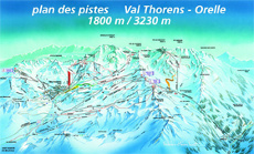
Piste Maps
A Skiers Guide to Val Thorens
Val Thorens is not the prettiest of The Three Valley Ski Resorts, but at 2,300m, it is the highest in Europe and usually the most snow-sure, with some of the most challenging runs and the best off-piste opportunities.
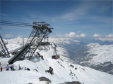
The resort of Val Thorens and been created around a compact central ‘village’ offering doorstep skiing practically wherever you stay.
The green pistes into Val Thorens allow beginners to progress, while above the resort the predominantly blue and red pistes are ideal for intermediates.
There are also good number of black runs, along with unpisted itineraries down to Orelle (the so called Fourth Valley). While the easy links allow the options to ski over to Meribel, Courchevel, La Tania, Les Menuires and St Martin de Belleville along the 600km of pistes, 166 ski lifts and 10,500 skiable, hectares that make up the worlds largest skiing area – The Three Valleys








Val Thorens Ski Resort In Brief
Getting There:
From Geneva Altibus run 8 buses per day on Saturday and 3 or 4 on other days. The journey takes around 3 ¼ hours and costs €64 one way. From Chambéry Altibus run one bus per day. The journey takes 2 ¼ hours and costs €50 one way.
Local bus or taxi from Moutier train station – 37km.
Height:
1,800 to 3,200m (5,850 – 10,500ft).
No. of Ski Lifts:
1 cable car, 3 gondolas, 15 chair lifts, 5 draglifts, 2 moving carpets.
Access to over 160 more in the 3 Vallies.
No. of Pistes:
8 ![]() , 25
, 25 ![]() , 28
, 28 ![]() , 6
, 6 ![]() .
.
Drawbacks:
There are no trees, which can make skiing in bad weather difficult.
