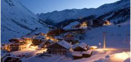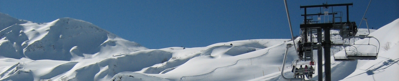
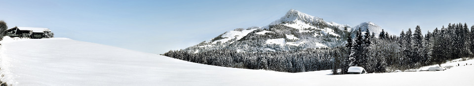
Kitzbühel is a classic ski resort, with bags of Austrian alpine character, charm and tradition.

Piste Map.
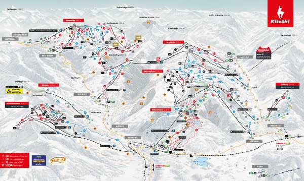
Download the latest piste map for Kitzbuehel here.
About Kitzbuhel.
Famous above all for the Men’s Downhill Race on the Hahnenkamm every January. Kitzbühel ski area has 158km of piste of its own and is lift linked with Kirchberg.
The KitzSki Pass gives access to Kirchberg and Mittersill as well as nearby resorts of Aurach and St Johann in Tirol.
The historic town centre with its medieval walls and cobbled streets is lined with traditional buildings, numerous shops, cafés and restaurants. In the evening, a bustling nightlife with many bars and clubs make it a beautiful place to stay.
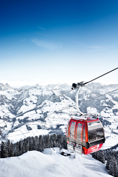
Since 2009, the ski area has had a direct link, via the spectacular 3S Cableway, which connects the Pengelstein and the Wurzhöhe, providing 170km of linked pistes and 53 cable cars and lifts.
Getting To Kitzbühel.
By Plane – Nearest Airports.
Műnich: 160km (100miles).
Innsbruck: 100km (60 miles).
Salzburg: 80km (50miles).
Airport bus services are available from all these airports to the resort.
A railway station in Kitzbuhel links the resort to main stations and cities.
By Car.
From the North.
- Take the A8 motorway towards Salzburg.
- At the Inntal-Dreieck (motorway junction) take the A93 towards Kufstein.
- Exit at Kufstein Süd (south).
- Take the B178 Loferer Highway towards St. Johann in Tyrol.
- Take the B161 Pass Thurn Highway towards Kitzbühel.
- Driving time from Munich: approx. 2 hrs.
Motorists arriving from the West (Switzerland).
- Take the A12 Inntalautobahn.
- Exit at Wörgl Ost (east).
- Take the B178 Loferer Highway towards St. Johann in Tyrol.
- Then the B161 Pass Thurn Highway towards Kitzbühel.
- Driving time from Innsbruck: approx. 1.5 hrs.
From the East.
- Take the A1 Westautobahn towards Salzburg.
- Then the A8 in the direction of Munich.
- Take the first exit, which leads to Bad Reichenhall.
- Follow the B20 in the direction of Lofer.
- Take the B178 Loferer Highway towards St. Johann in Tyrol.
- Pass Thurn Bundesstraße B161 Richtung Kitzbühel.
- Then the B161 Pass Thurn Highway towards Kitzbühel.
- Driving time from Salzburg: approx. 1 hrs.
From the South.
- Take the A22 motorway towards Brenner / Innsbruck.
- Take the A12 Inntalautobahn.
- Exit at Wörgl Ost (east).
- Take the B178 Loferer Highway towards St. Johann in Tyrol.
- Take the B161 Pass Thurn Highway to Kitzbühel
- Driving time from Milan: approx. 5.5hrs.
Kitzbühel Ski Resort in Brief.
Altitude:Skiing: 800 – 2,000m (2,620 – 6,560ft).
Kitzbühel: 800m.
No of Ski Lifts: Cable cars – 9. Chairs – 30. Drags -15.
The Skiing:
No of Pistes: 60:
Types of Pistes: 35% beginner, 43% intermediate, 22% advanced.
Marked Pistes: 170 km.
Cross Country Skiing Trails: 120km.
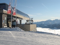
Mountain Restaurants: 53.
Longest ski run: 7km.
Direction of slopes N/S/E.
Main Advantages:
Beautiful traditional town centre; lively après-ski.
Drawbacks:
Low altitude leads to unreliable snow; limited advanced skiing; heavy traffic tends to spoil town’s charm.
NOTE: Ski Resorts change all the time. This information may now be out of date and some of the information may be inaccurate. Please visit the official ski resort site for Kitzbuhel for the latest information.

For the latest reviews and information from Kitzbuehel read our blog entries.
For information about skiing in the Kitzbuehel ski areas visit this page.