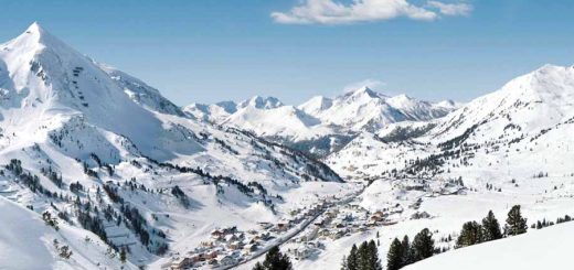
Whistler Blackcomb Ski Resort, home of Whistler and Blackcomb Mountains lies amid the impressive west coast mountains of British Columbia, just 75 miles north of Vancouver.
Ski Piste Map.
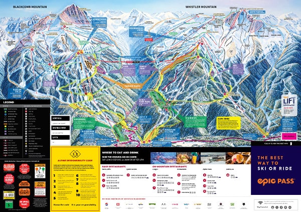
Download the latest trail maps for Whistler Blackcomb here.
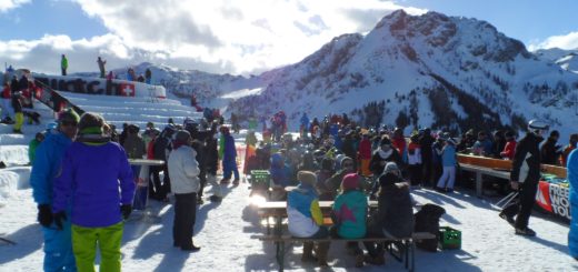
Whistler Blackcomb Ski Resort Review.
The two largest ski mountains in North America, side by side are create the ski resort. A resort that covers over 8,000 acres, has a vertical drop of 1.6km and miles of long linked trails, 16 alpinebowls, tree runs, cliffs, chutes, 3 glaciers, moguls and terrain parks. Both mountains are well laid out, with only 33 lifts covering the entire resort, this means only have to take one or two lifts to get to almost any part of the resort.
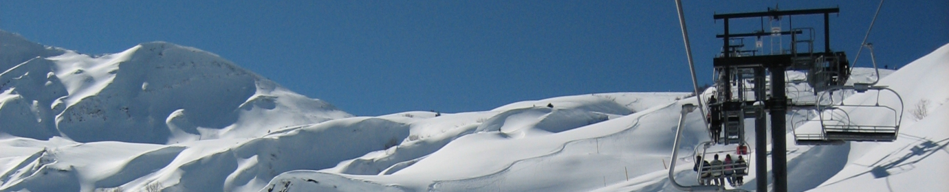
The Peak 2 Peak Gondola.
World record holder for the longest, 4.4km and highest lift, 436m above the valley floor, the Peak 2 Peak Gondola connects Whistler and Blackcomb Mountains.
Peak Suspension Bridge.
The Cloudraker Skybridge will span 130m from Whistler Peak to the West Ridge, crossing high above Whistler Bowl.
Whistler Blackcomb Ski Resort In Brief
Getting There:
Vancouver: 120km (75 miles).
Rail, bus, taxi and limousine services available from Vancouver.
Railway station in Whistler Creekside.
Drive from Vancouver is along the spectacularly scenic Sea to Sky Highway (99 North).
Height:
Blackcomb: 675 – 2,280m (2,210 – 7,480ft)
Whistler: 650 – 2180m (2,130 – 7,150ft).
Skiable Terrain: 8171 acres.
No of Lifts: 37.
Types of Pistes:
20% beginner, 55% intermediate, 25% advanced.
Main Advantages:
Excellent choice of resort restaurants: lively apès-ski; wide range of skiing.
Drawbacks:
Proximity to coast can cause heavy rain at resort level.