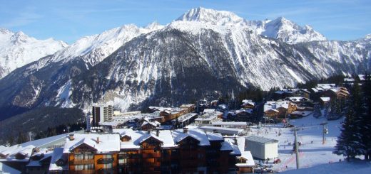
Skiing Taos Ski Valley in New Mexico is characterised by steep, technical, and high-mountain terrain. As a result it has a charming, Alpine vibe.
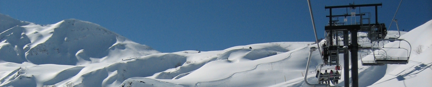
It is a haven for advanced skiers, because it features intense chutes and moguls. For this reason just over half the terrain is rated expert. Even though it has around 1,300 acres of skiable terrain a 3,131ft vertical drop it, somewhat unexpectedly, also solid beginner options.
Taos Ski Valley Trail Map.
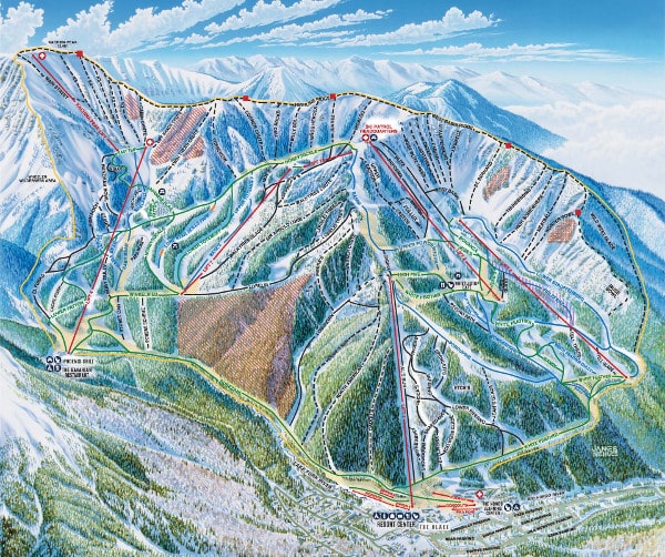
Download the latest Taos Ski Valley trail map here.
Taos Ski Valley in Brief.
Average Annual Snowfall. 305 inches.
Average Days of Sunshine. Generally the sun shines on Taos Ski Vallety for over 300 days a year.
Total Acreage. 1,294 acres.
Ski Trails. 110 total: 24% beginner, 25% intermediate, 51% expert.
Lifts. 13: 4 quad chair lifts, 1 triple chair lift, 5 double chair lifts, 3 surface lifts.
Base Elevation. 9,207 feet / 2805 meters.
Top of Highest Lift served. 11,819 feet / 3,602 meters.
Kachina Peak Elevation. 12,481 feet / 3,804 meters.
Vertical Drop. 2,612 feet / 796 meters (lift served); 3,274 feet / 998 meters, with Kachina Peak hike.
Snowmaking Capabilities. 100% of beginner and intermediate pistes make being able to go skiing Telluride a certainty.
Out-to-Launch Terrain Park. The terrain park is located on Maxie’s run under lift number 7. The park is groomed nightly.

If want to ski Taos Ski Valley, check out this page, the latest blog articles or the offical Taos website.